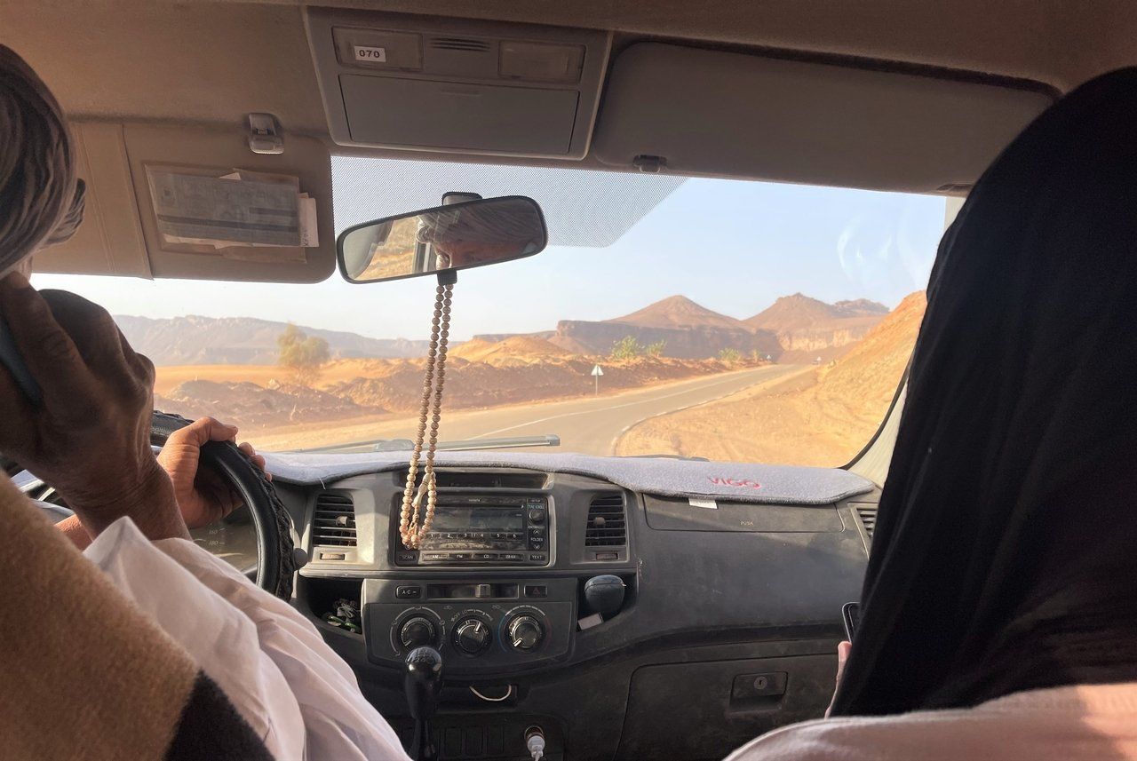
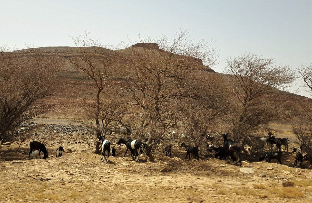
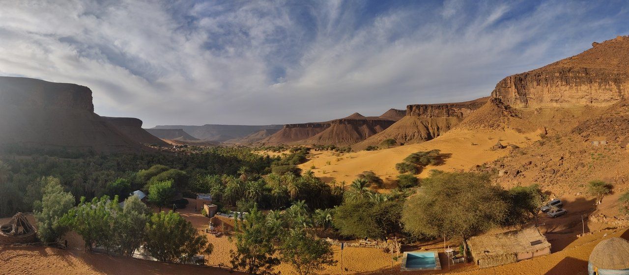
The term Adrar derives from a Berber language and means mountainous area. Since there are several of these in the Sahara, the precise name of the plateau in central Mauritania is therefore Adrar Tamer. However, both the plateau and the same-named region are nowadays only referred to as Adrar. The maximum elevations in the Adrar reach 700m. In terms of landscape, the region can be compared to the Colorado plateau around the Grand Canyon - that means rugged rocky hills, steep escarpments and rocky slopes, but - of course - a bit more riverless than its US counterpart. Instead of raging rivers, the landscape is characterized by shifting sand dunes. Fascinating ergs (dune areas; from Arab. ʿIrq) can be found southwest of the regional capital Atar (Erg Amatlich), southwest of Zouérat (Erg Maqteir), and east of Chinguetti (Erg Ouarane). And since Adrar is also a region full of versatility, nowhere are as many oases in Mauritania as in the Adrar region - a total of over 2200 hectares. The most famous one is certainly Terjit, 30 km south of Atar, but you shouldn´t miss the way to Mhaireth either, which is east of Terjit, or Entkemkemt near Chinguetti. The Adrar region is home to just over 60,000 people. Because of its natural shelter in the desert, Adrar has historically been of special importance for the area of present-day Mauritania and for trans-Saharan trade.


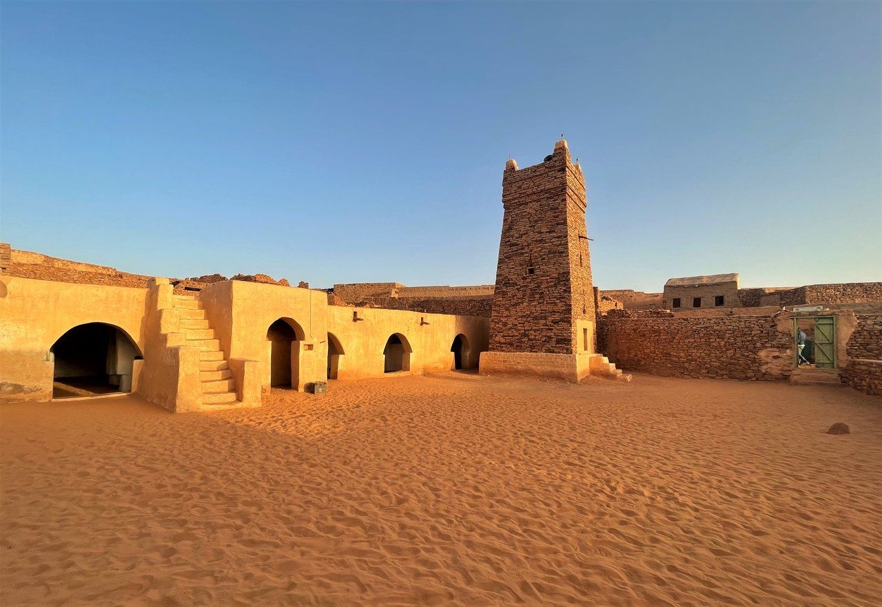
The ancient cultural landscape gave rise to cities such as Chinguetti and Ouadane, which are not only recognized as Ksour by UNESCO, but are also among the most popular and relatively easy to reach destinations. Those who want to get to know these religious and cultural centers, these bridges between Arab and "black" Africa, have the opportunity to do so in one of our Adrar tours of different scope.