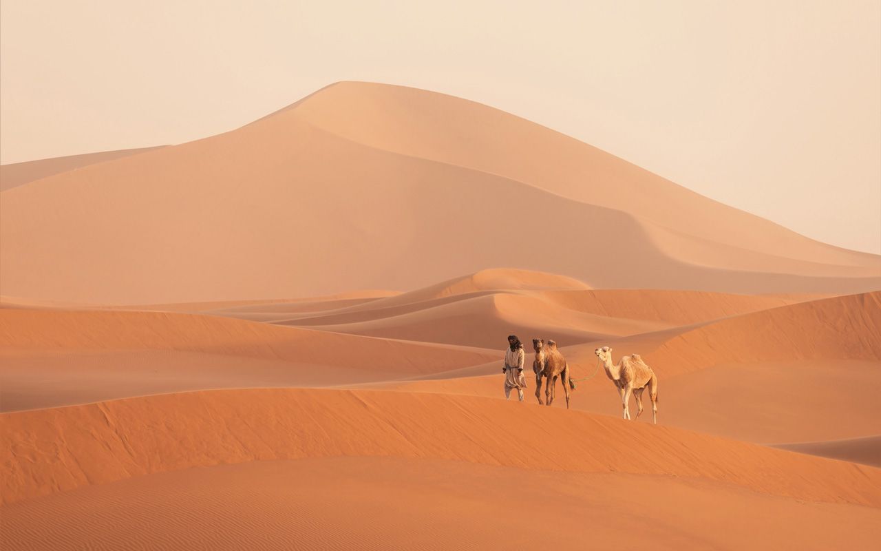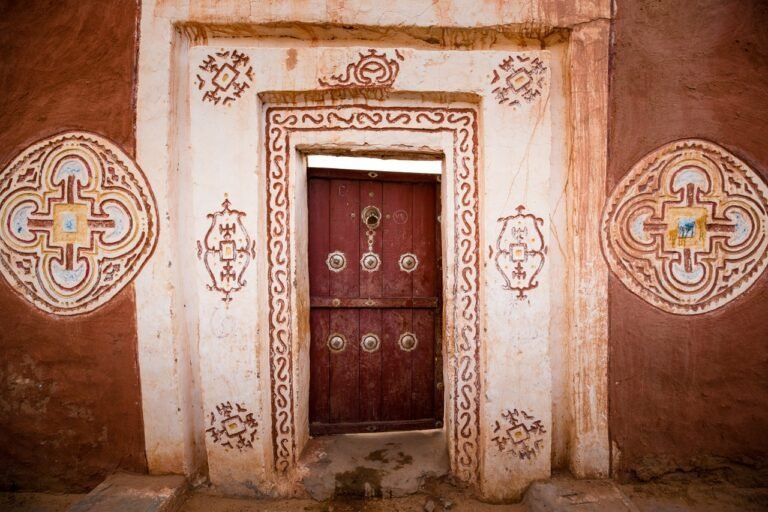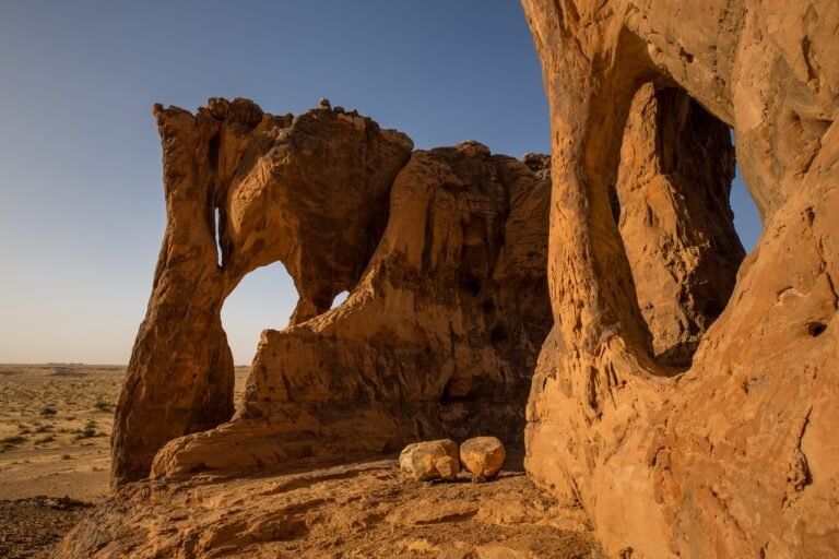
Hodh el Gharbi (al-Ḥauḍ al-Ġarbī), the western basin, and its counterpart Hodh El Chargui are named after the Aoukar Depression, which once contained a huge inland lake. Here in the south, where it always looks a bit like Arizona between the plateau and the desert dust, you could easily shoot a western movie. Bizarre rock formations in the middle of endless desert make the landscape look fascinating. The capital of the region, Ayoun el Atrous, with its 15,000 to 20,000 inhabitants, has, like so many cities in Mauritania, the provisional character of a town in the Wild West. However, it is worth taking a close look at the buildings, some of which are quite charmingly decorated with natural stone. Ayoun el Atrous is embedded in our two southern tours. Coming from Néma it is about 2 ½ hours to Ayoun. The impressive ruins of Koumbi Saleh lie also not far from Ayoun. After spending the night - if you like also outside the town - we continue our way westwards on the Route de l'Espoir.