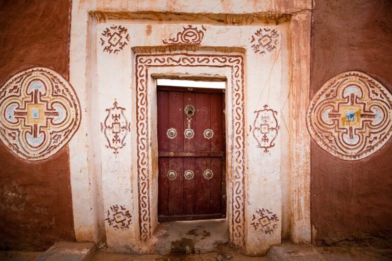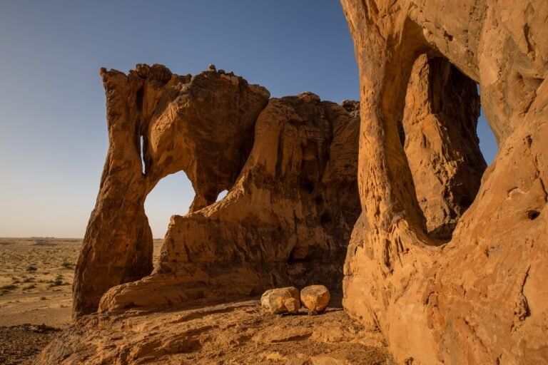
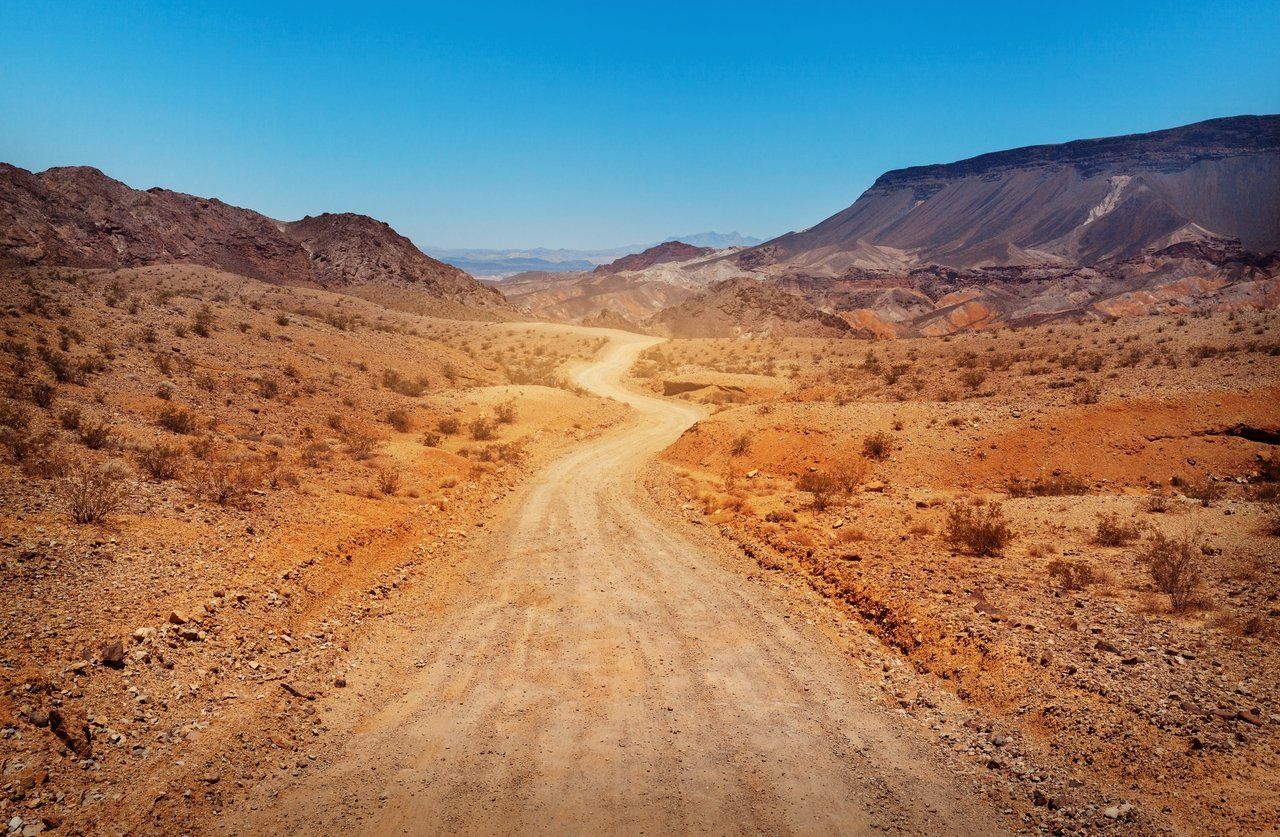
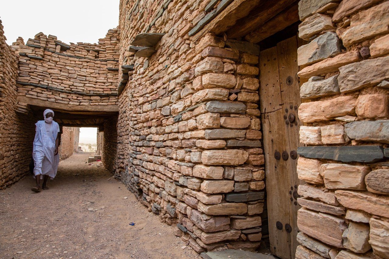
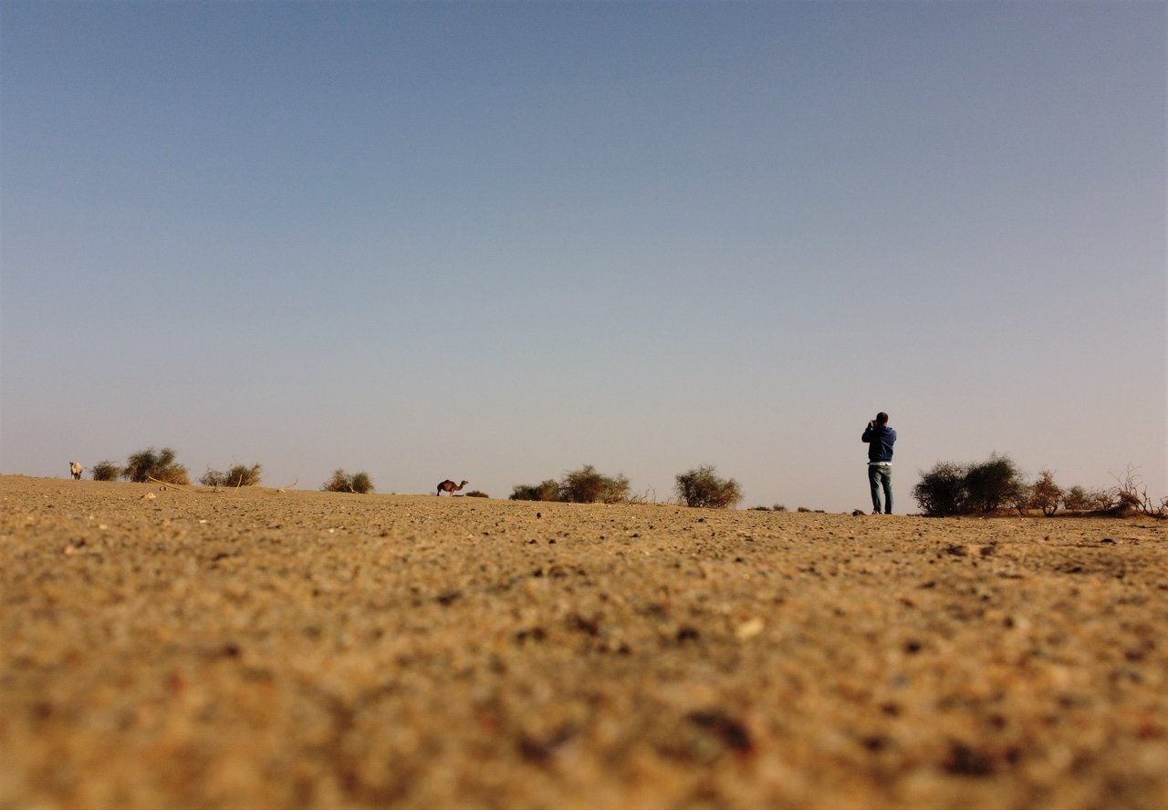
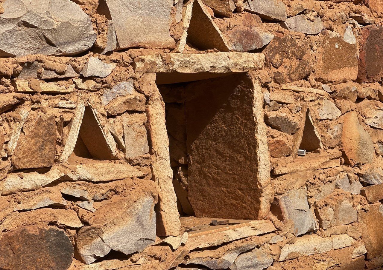
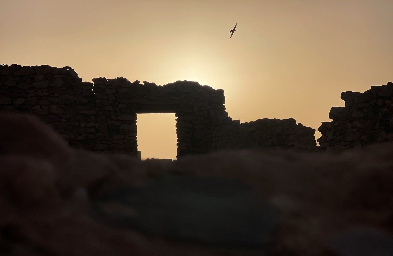
The Tagant region is named after the Tagant Plateau, which in turn derives from the Berber term for forest. The stony plateau is located in the western Sahara in southeastern Mauritania and is besides Adrar the only one in the country. The landscape is characterized by arid desert climate. Apart from rocks and shifting sand dunes, however, there are also smaller oases to be discovered in the Tagant. The Guelta Matmata has permanent water and is home to the rare Saharan crocodiles. In addition, there are some tamourts that become lakescapes for months after the rainy season. About 85,000 people live in the Tagant region. Even though there are some people still living as nomads, the inhabitants are concentrated in a few larger towns such as Tichitt, Tidjikja and Nbeika and some villages as well. Tagant, as a cultural region, is crucial for the history of Mauritania. Historically linked by trans-Saharan trade to the Adrar region in the north and the Aoukar Depression in the southeast, numerous traces of the centuries are still visible today. Thus, it is worth visiting not only the important sites of the 17th-19th centuries, such as Tidjikja or Ksar el Barka, but also the ruins of the 11th century metropolis, Aoudaghost, which borders the region to the south. In Akreijit, numerous millennia-old relics can still be seen and Tichitt is even a World Heritage Site together with Chinguetti, Ouadane and Oualata.
Even today, salt trading exists in the region. Besides a smaller number of tourists, the enormous date cultivation around Tidjikja helps the Tagant region to relative prosperity today - certainly one of the reasons for the name of the plateau. Currently, we offer two tours to the Tagant region, which include the main attractions across nature and history.